Los Terremottos
The 8.3 magnitude earthquake that occurred in Chile this past Wednesday became an unexpected and unique educational opportunity for my Environmental Science class. It was a coincidence that I was teaching about plate tectonics the day the earthquake occurred. Students had been exploring examples of well known tectonic plate boundaries such as the transform boundary running along California, Iceland, and the volcanically active Pacific Islands. Students had been assigned a project for homework to design their own tectonic world, marking at which specific plate boundaries earthquakes, volcanoes, and tsunamis occur. These events were fresh on their mind and when the earthquake in Chile occurred that afternoon students immedietely came to me with curious and thoughtful scientific questions and went to their Chilean peers with support as they waited to hear from their families.
Students heard from their families fairly quickly and this is due in part to how prepared and organized Chile has become in dealing with their fairly frequent volcanic and tectonic events. Chile is well aware of its unstable position on the earth’s crust. Students were able to use this very recent earthquake as a contrast for better understanding the impacts of other recent tectonic events like that in Nepal this past April.
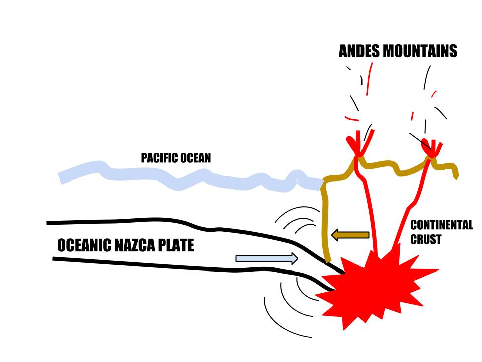 The tectonics of Chile are really quite fascinating. As I told students, I believe Chile is the world’s best example of a convergent subduction zone. The Nazca Plate and the South American Plate are going head to head as they push into eachother at the speed of several centimeters per year. It doesn’t seem like much, but the result is the oceanic Nazca Plate being sucked under the continental crust of South America and under all that heat and pressure the Nazca plate begins to melt. This melting is what makes the Andes such a volcanically active place, every episode building up these mountains more and more. This subduction zone is also what causes the region’s earthquakes. The Nazca Plate does not peacefully glide under South America, but instead it noses its way under in fits and bouts. When the pressure becomes too much, this is when the tension on the plates releases and they slide past eachother more abruptly, sending the results to the surface of the earth in the form of tremors or more sizeable events like that seen Wednesday. Chile was also under high tsunami alert on Wednesday because this specific earthquake occurred just off the coast of Chile. When water is displaced due to tectonic shifts, new water must come in to take its place, causing a wave that grows as it heads toward shore. Because of Chile’s preparedness for this scenario over one million people were evacuated with enough warning.
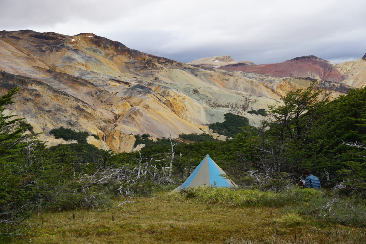
Until now, students have been learning about the Andes as a textbook example of a convergent plate boundary, but with our soon approaching travels students will be able to associate people and a real place to these sometimes abstract concepts and events.